Overview
Tarak Ridge Campsite is a hike-in mountain camp on Mount Mariveles in Bataan, reached from Barangay Alas-asin in Mariveles. It is a tent-only ridge camp with strong wind, exposed views, no built facilities, and a demanding trail past Papaya River.
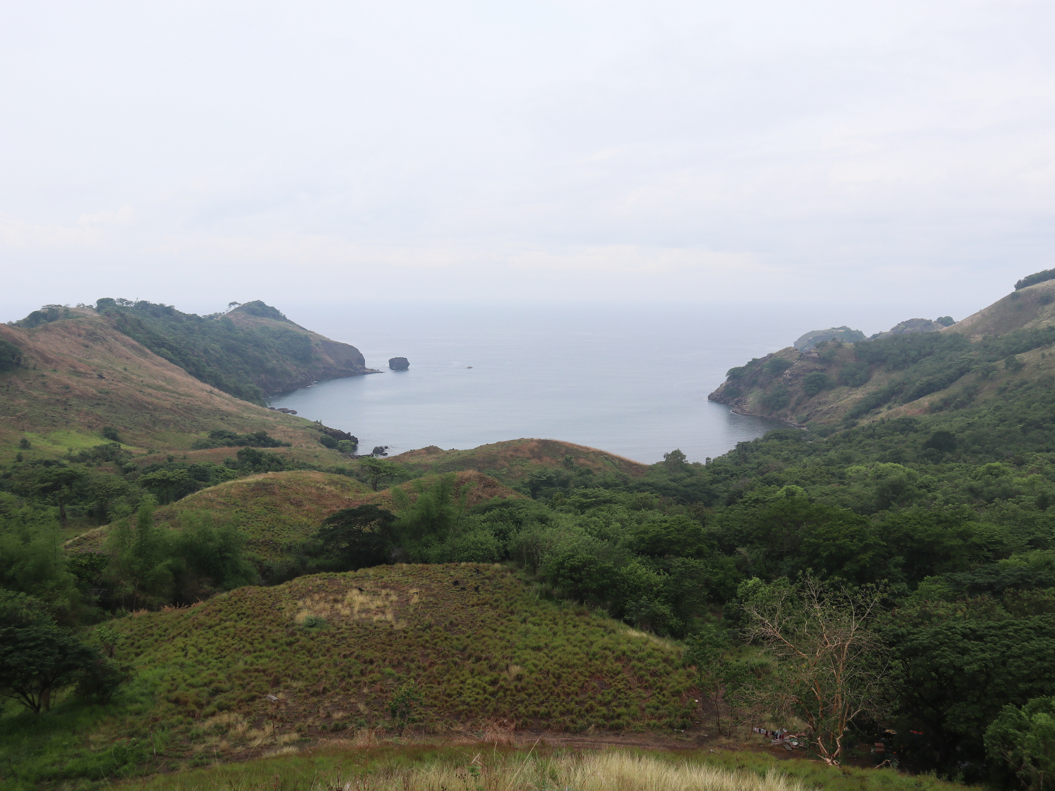
The ridge sits around 1,006 meters above sea level, with Tarak Peak usually cited around 1,130 meters. This is not a roadside campsite. It is a major hike with steep forest sections, roots, rocks, and an open ridgeline. The normal overnight plan reaches the ridge in the afternoon, sets tents, then breaks camp the next morning after sunrise. Bring proper pegs because ridge wind is a known problem for tents.
How do you get to Tarak Ridge Campsite?
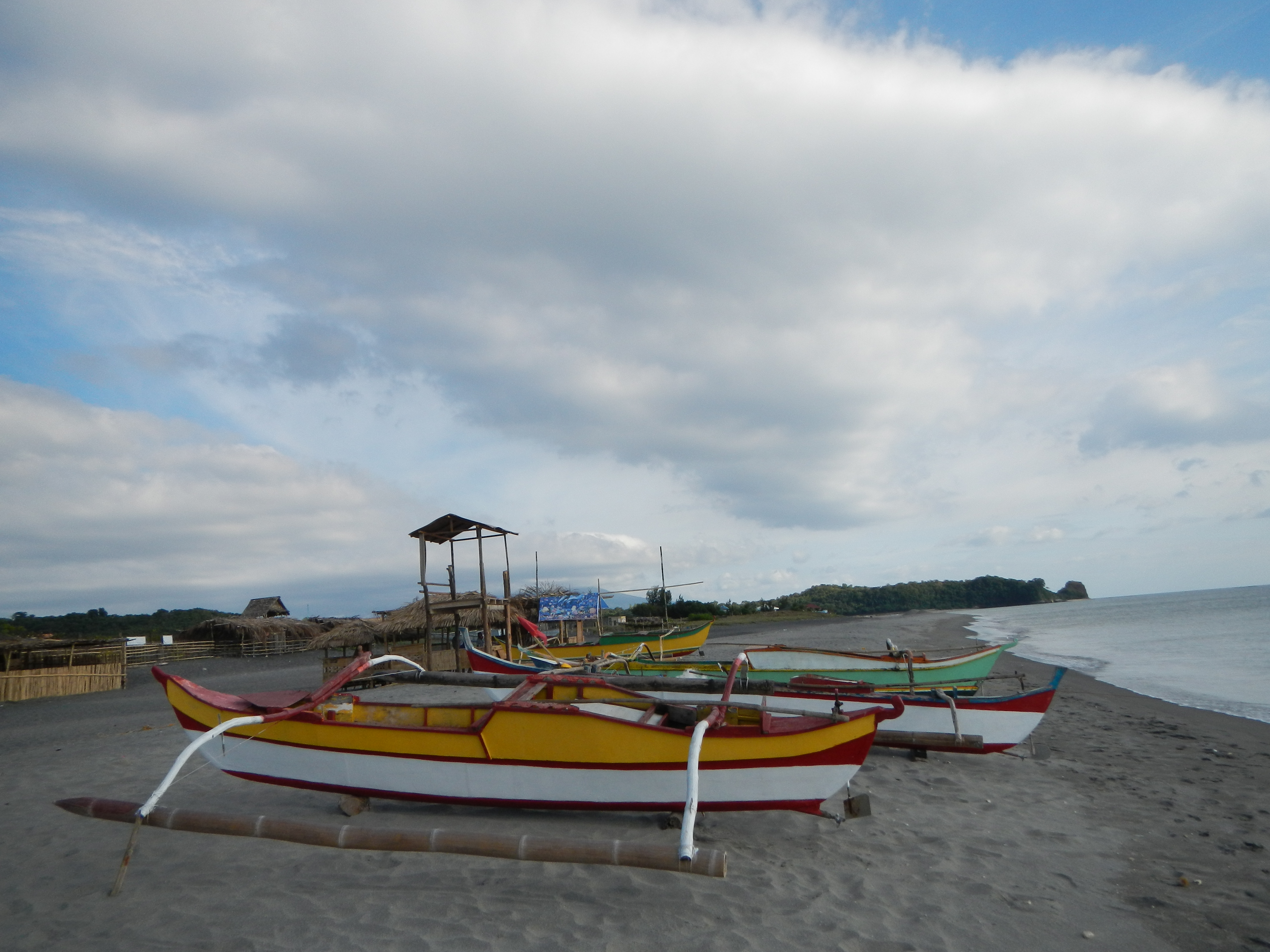
Drive or commute to Barangay Alas-asin in Mariveles, Bataan, register, secure a local guide if required, then hike through the Tarak trail. The route passes Nanay Cording's area and Papaya River before the steeper final ascent to the ridge campsite.
The practical driver destination is Alas-asin Barangay Hall for registration. A mapped Tarak Ridge Jump-off sits farther along Tarak Trail, but hikers should not skip barangay registration or local guidance. Travel from Metro Manila to Alas-asin is commonly given as 3–4 hours. The hike to the ridge or peak is commonly given as 5–6 hours, with Papaya River as the major rest and water stop before the hard climb.
How much does camping at Tarak Ridge Campsite cost?
No current no-surprise per-person camping fee was confirmed. Older hike references mention small registration fees, while current organized hikes package transport, guide, registration, and entrance fees together. Budget separately for registration, local guide, food, transport, wash-up, and possible parking or tricycle costs.
Because the camping fee is not reliably published as a current per-person overnight rate, the structured fee is left null rather than guessed. For planning, treat this as a guided mountain overnight, not a cheap roadside camp. If you join an organizer, compare what the package includes: Manila transport, registration, environmental fees, local guide fees, coordinator fee, meals, and porter fees.
What amenities does Tarak Ridge Campsite have?
Tarak Ridge Campsite has no built campsite amenities on the ridge. Toilets and wash areas are at the jump-off, water is at Papaya River before the ridge, mobile signal is reported in most areas, and hikers must bring tents, food, lighting, trash bags, and enough water.
Papaya River is the key water source and rest stop before the final ascent. Carry at least 2–3 liters, and treat or filter any river water before drinking unless your guide confirms conditions. The ridge has no store, no electricity, no toilet, and no tap water. Pack a headlamp, rain cover, jacket, stove or ready-to-eat food, and extra tent pegs.
Pets, bonfires, and campsite cooking rules were not confirmed in reliable public sources. Use a stove only where allowed by your guide and avoid open fires. The ridge is exposed and windy, so loose trash and light gear can disappear fast.
What do campers say about Tarak Ridge Campsite?
Campers describe Tarak Ridge Campsite as exposed, windy, scenic, and physically earned. The first trail section is manageable, Papaya River gives a real break, and the climb after the river is the part that makes the overnight feel like a major hike.
The ridge view covers Bataan, Corregidor, Manila Bay, and nearby islands when the weather clears. The same exposed position makes nights windy and cold enough to bother weak tent setups. The trail after Papaya River involves steep pulls on roots and branches, so arrive with dry bags, gloves if you like them, and enough daylight to pitch a tent without rushing.
When is the best time to camp at Tarak Ridge Campsite?
The best window is the dry season from November to April, with an early start from Alas-asin. Avoid heavy rain because the forest ascent, roots, and ridge exposure become harder, and summer heat can make the lower exposed trail rough before Papaya River.
For a weekend escape, leave Manila very early Saturday, register in Alas-asin, reach the ridge by afternoon, and descend Sunday morning. March and April can be hot on exposed sections, and old hike notes mention grassland burning in summer, so check local conditions before committing.